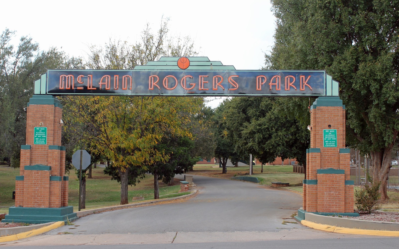
Sell Mineral Rights in Clinton, OK
Clinton sits inside Custer County's core STACK development, where multi-well pads and stacked laterals are the norm rather than the exception.
A Clinton-area tract can carry royalty from several horizontal wells landed in different benches of the Meramec and Osage, all drilled from one or two surface pads over the past several years, which is why one month's check rarely reflects the full picture.
Owners near Clinton sometimes assume that because a well was drilled several years ago, its best value has already passed, but a mature STACK well's remaining reserve life can still represent significant value depending on where it sits on the curve.
Stacked Wells, Stacked Royalty
We identify every well currently paying your Clinton-area interest and model each on its own decline separately, then combine them into one clear number rather than treating your total monthly income as a flat, ongoing figure.
Older Production Underneath
Some Clinton-area tracts also carry a legacy conventional interest from decades before the STACK boom, sitting on a much older, flatter decline curve than the newer horizontals above it.
What's Left to Drill
Custer County has been developed long enough now that some units are largely finished, while others still have undrilled locations. We check recent permits near your specific tract to give you an honest read on which situation applies.
Weatherford's Neighbor, Same Play
Clinton sits close enough to Weatherford that the two towns share much of the same STACK development history, though individual sections still vary in results, which is why we check your specific tract rather than assuming Clinton behaves exactly like its larger neighbor.
Locate the tract in the Oklahoma record
The tract should be reviewed through the county and legal description that control the minerals, not only through a mailing address or city label. Identify the section, township, range, county, operator or payor, current owner, and any OCC cause or order number. Then match the tract to spacing, pooling, well, and title records that actually touch the property.
Read nearby activity without overextending it
A permit, completion, or pooling cause near the tract can provide context, but distance alone does not prove that the same formation, unit, operator plan, or economics apply. Compare legal descriptions, landing zones, unit geometry, first-production dates, and operator chronology. Nearby evidence belongs in the file with its limits clearly stated.
Check the local title path
County recording practices, older reservations, probate history, trust ownership, marital interests, and entity changes can shape the closing path for the tract. Trace deeds and estate records forward to the current owner, then compare that chain with the respondent list, division order, and paid decimal. Curative work should be identified before accepted terms depend on a closing date.
Build the decision from tract-specific facts
A sale range for the tract should separate producing income, leased but undrilled acreage, open minerals, and prospective development. State the records and assumptions supporting each component. The owner can then compare keeping the interest, selling a portion, or conveying the full interest with the order, tract, decimal, title requirements, and written transaction terms visible in one place.
Questions Oklahoma owners ask
your Clinton tract has more than one well on it. How does that affect an offer?
We value each well separately based on its own production and remaining decline, then present one combined offer.
Is there more drilling likely near Clinton, or has the area matured?
It varies by section — we check recent permits and completions near your tract rather than assuming for the whole area.
Do you buy interests with both old conventional and newer STACK production?
Yes, and we typically value each separately since they behave very differently, then roll them into one offer.
How does Clinton compare to Weatherford for mineral value?
Both sit within core Custer County STACK acreage, but results vary section to section, so we price based on your specific tract's history.
What if your interest has never been leased?
Unleased interests are still common in parts of Custer County, and we evaluate them on their own merits.
If your well was drilled years ago, is it too late to get a fair offer?
No — mature wells still carry real value based on remaining reserves, and we price that directly rather than assuming an older well is worth little.
Do you buy interests where the well has already stopped producing?
We look at each case individually; a shut-in or plugged well changes the valuation but does not automatically mean there is no remaining value if other formations or future re-entry are realistic.
Keep reading before you sign
Sell Mineral Rights in Coal County, OK
Own minerals near Coalgate, Lehigh, or Tupelo in Coal County? Arkoma Basin gas and Choctaw Nation allotment history shape what a sale looks like.
Sell Mineral Rights in Coalgate, OK
Coalgate is the Coal County seat, sitting over legacy Arkoma Basin gas and coal-mining history. See how a mineral sale works here.
Sell Mineral Rights in Cole, OK
Cole, OK sits in McClain County on the SCOOP's northern edge. See how position on the play shapes what your minerals are worth.