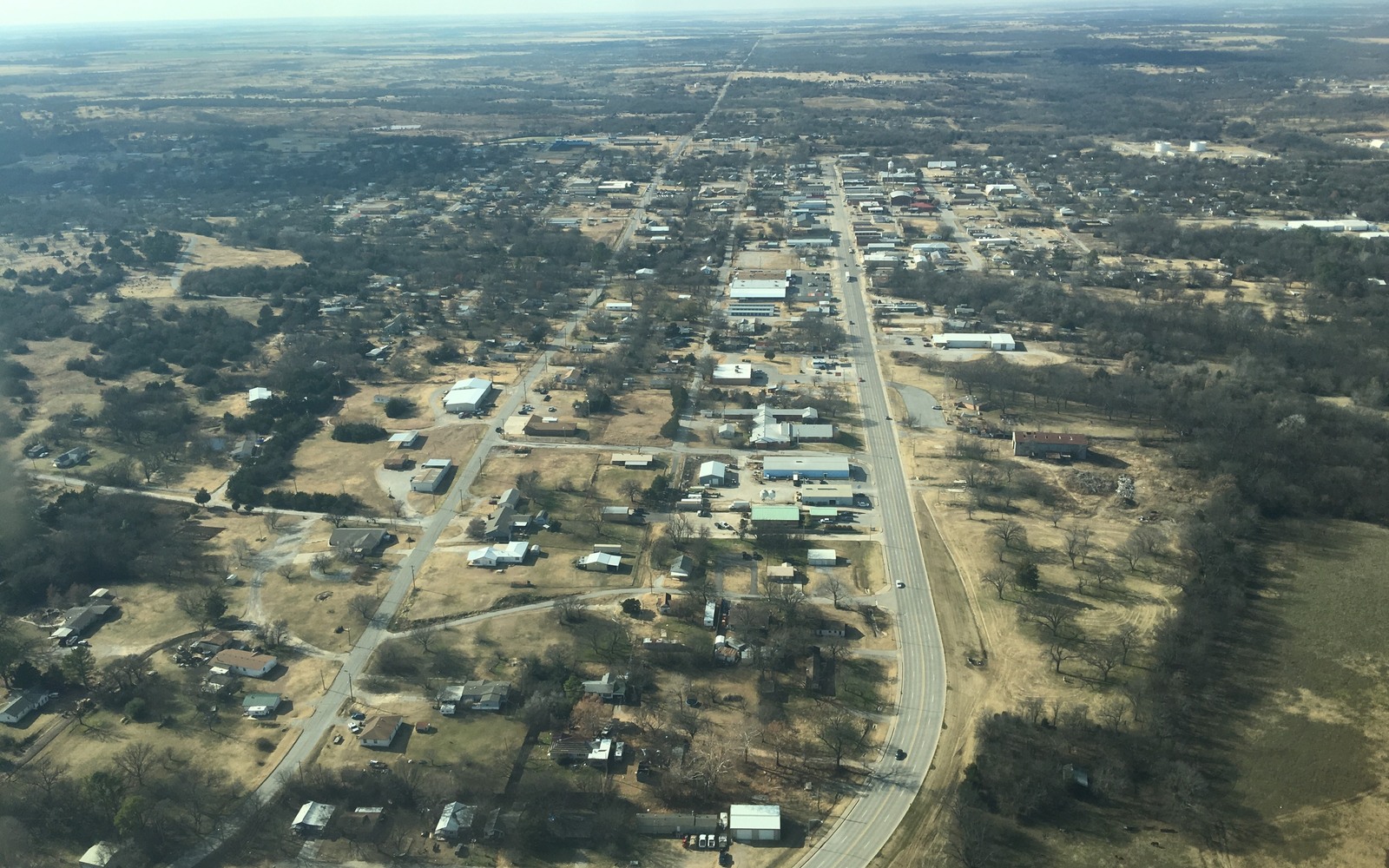
Sell Mineral Rights in Healdton, OK
Healdton sits atop one of Oklahoma's earliest major oil discoveries, a field that helped establish Carter County as an oil-producing region more than a century before SCOOP Woodford drilling arrived.
The Healdton Field's discovery in 1913 made this area one of the most significant oil producers in the country at the time, and more than a hundred years of subsequent development have left a genuinely layered production history beneath much of the acreage surrounding town. A mineral interest here can carry royalty ties to any part of that century-plus timeline.
For a family holding minerals near Healdton today, the practical task is confirming exactly which wells, from which era, are currently paying royalty on your specific tract — a legacy Healdton Field well, a newer SCOOP Woodford horizontal, or in some cases both.
More than a century of layered production
Few places in Oklahoma have as continuous a production history as the Healdton area, and that longevity means mineral title here can be genuinely complex — leases signed in the early 20th century, subsequent unitization efforts through the mid-century decades, and now modern SCOOP horizontal units layered over the same ground. Each era typically has its own division order structure.
This complexity isn't a reason to avoid a sale, but it is a reason to expect a more thorough title review than a newer, single-era play would require, and to budget the time for it.
SCOOP Woodford development in a historic field
Modern Woodford horizontal drilling has extended into parts of the Healdton area as operators applied newer completion techniques to a formation that runs beneath the historic field. Where this newer development overlaps your tract, you may see a genuinely separate, more recent royalty stream alongside any legacy production your family has held for generations.
Confirming whether your acreage has seen this newer SCOOP-era activity, distinct from the historic field production, is worth doing directly through OCC well records rather than assuming based on family history alone.
What over a century of ownership typically looks like now
Given how long minerals in this area have been held and passed down, it's common for a Healdton-area interest to be split among a large number of descendants of the original early-1900s landowners, some of whom may hold very small fractional shares by now. Piecing together a complete, accurate picture of who owns what can itself be a meaningful undertaking.
For families in this position, working with someone experienced in older Carter County title research — not only current SCOOP economics — is often the difference between a smooth transaction and a stalled one.
Locate the tract in the Oklahoma record
The tract should be reviewed through the county and legal description that control the minerals, not only through a mailing address or city label. Identify the section, township, range, county, operator or payor, current owner, and any OCC cause or order number. Then match the tract to spacing, pooling, well, and title records that actually touch the property.
Read nearby activity without overextending it
A permit, completion, or pooling cause near the tract can provide context, but distance alone does not prove that the same formation, unit, operator plan, or economics apply. Compare legal descriptions, landing zones, unit geometry, first-production dates, and operator chronology. Nearby evidence belongs in the file with its limits clearly stated.
Check the local title path
County recording practices, older reservations, probate history, trust ownership, marital interests, and entity changes can shape the closing path for the tract. Trace deeds and estate records forward to the current owner, then compare that chain with the respondent list, division order, and paid decimal. Curative work should be identified before accepted terms depend on a closing date.
Build the decision from tract-specific facts
A sale range for the tract should separate producing income, leased but undrilled acreage, open minerals, and prospective development. State the records and assumptions supporting each component. The owner can then compare keeping the interest, selling a portion, or conveying the full interest with the order, tract, decimal, title requirements, and written transaction terms visible in one place.
Questions Oklahoma owners ask
Why does your family have such old paperwork for our Healdton-area interest?
The Healdton Field was discovered in 1913, making this one of Oklahoma's oldest continuously developed oil areas. Century-old leases and unitization records are common here.
Do you have both legacy and SCOOP production on the same tract?
Possibly — modern Woodford horizontal drilling has extended into parts of the historic Healdton Field area, so some tracts carry both older and newer production under separate division orders.
How many other heirs might share ownership of your Healdton interest?
Given the century-plus of inheritance since the field's original development, it's common for a single tract to now be split among a large number of descendants, some holding quite small fractional shares.
Should you use a Carter County-experienced professional for title work?
For an interest with this much potential history, yes — experience specifically with older Carter County title chains, not only current SCOOP transactions, meaningfully reduces the risk of surprises during closing.
Keep reading before you sign
Sell Mineral Rights in Helena, OK
Alfalfa County mineral owner near Helena, OK? We evaluate old conventional leases and shallow-shelf tracts against courthouse and OCC records before quoting.
Sell Mineral Rights in Hennepin, OK
Own minerals near Hennepin, Garvin County? We weigh Golden Trend legacy production against current SCOOP activity before putting a number in writing.
Sell Mineral Rights in Hennessey, OK
Noticed a change in your Hennessey-area royalty check? We read recent STACK permits and Meramec well activity into every mineral offer we put in writing.