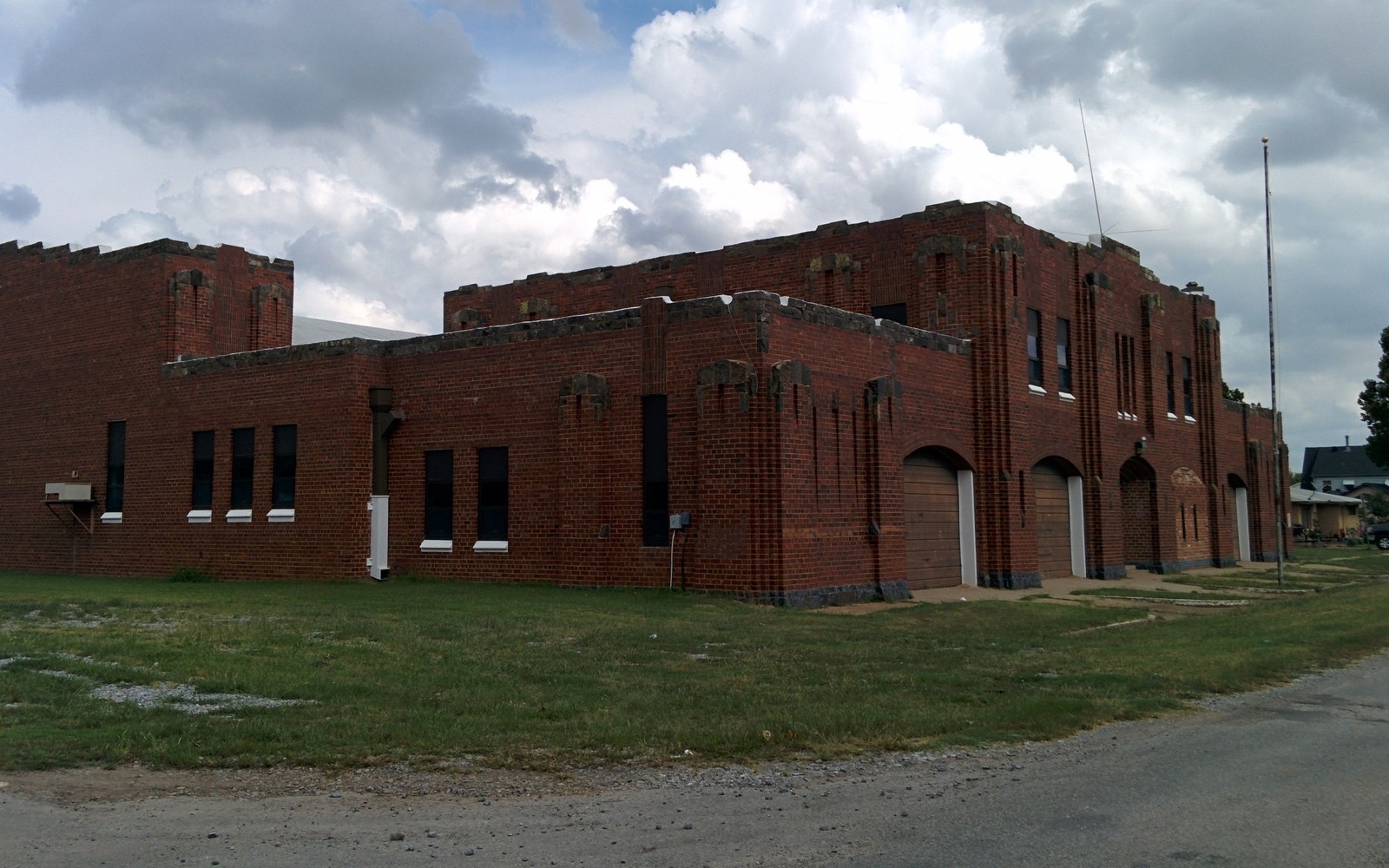
Sell Mineral Rights in Minco, OK
Minco sits in Grady County ground that carries two eras of oil and gas history at once: shallow Rush Springs Sandstone wells that go back generations, and modern SCOOP horizontal laterals targeting the Woodford and Springer thousands of feet below them.
That layering matters when you are trying to size up what a family interest near Minco is actually worth. An older legacy lease covering the shallow sands can sit quietly on a tract while a newer horizontal unit is permitted underneath it, and the two royalty streams do not always show up on the same statement or from the same operator. Before we put a number on an interest here, we ask which zone — or zones — a family is actually being paid from.
Two production eras on the same tract
The Rush Springs Sandstone made this part of Grady County an oil address decades before anyone drilled a lateral through the Woodford shale a mile below it. Many Minco-area families still hold interests tied to that older production, sometimes through leases signed by grandparents, alongside newer SCOOP unit interests created when an operator pooled the deeper rights. A single tract can carry royalty income from both, and a buyer needs to see the full picture rather than one division order.
What a SCOOP unit near Minco changes about value
When a horizontal Woodford or Springer well is permitted through a section, the mineral interests underneath it typically get pooled into a single unit, and each owner's royalty share is fixed by their percentage of that unit rather than their raw acreage. That pooling order is the single most useful document for pricing an interest — it tells us the exact royalty fraction and the well or wells actually paying it, instead of us having to estimate from acreage alone.
Portfolio timing for a Minco-area interest
For a family weighing a sale, the question is usually less about whether the minerals are worth something and more about when selling makes sense relative to a well's production curve and the family's own tax year. An interest tied to a well in its first eighteen months of strong output is a different asset than the same interest three years later on the back half of its decline, and we walk through both scenarios rather than pushing toward a single answer.
Locate the tract in the Oklahoma record
The tract should be reviewed through the county and legal description that control the minerals, not only through a mailing address or city label. Identify the section, township, range, county, operator or payor, current owner, and any OCC cause or order number. Then match the tract to spacing, pooling, well, and title records that actually touch the property.
Read nearby activity without overextending it
A permit, completion, or pooling cause near the tract can provide context, but distance alone does not prove that the same formation, unit, operator plan, or economics apply. Compare legal descriptions, landing zones, unit geometry, first-production dates, and operator chronology. Nearby evidence belongs in the file with its limits clearly stated.
Check the local title path
County recording practices, older reservations, probate history, trust ownership, marital interests, and entity changes can shape the closing path for the tract. Trace deeds and estate records forward to the current owner, then compare that chain with the respondent list, division order, and paid decimal. Curative work should be identified before accepted terms depend on a closing date.
Build the decision from tract-specific facts
A sale range for the tract should separate producing income, leased but undrilled acreage, open minerals, and prospective development. State the records and assumptions supporting each component. The owner can then compare keeping the interest, selling a portion, or conveying the full interest with the order, tract, decimal, title requirements, and written transaction terms visible in one place.
Questions Oklahoma owners ask
How do you know if you are being paid from the shallow Rush Springs zone or the deeper SCOOP unit?
Your division order or royalty statement will typically name the well and the producing formation. If you have statements from more than one operator, or from wells with very different depths, you may hold interests in both eras of production near Minco.
Does a pooling order affect how fast you can sell?
It generally speeds things up, since a pooling order spells out the exact royalty fraction and the unit it applies to, which is most of what a buyer needs to make a fair offer.
Is Minco still seeing new drilling activity?
Activity in Grady County's SCOOP acreage moves in cycles tied to commodity prices and operator budgets. We check current permitting near your specific section before forming a view rather than relying on general county-wide trends.
Keep reading before you sign
Sell Mineral Rights in Mooreland, OK
Mooreland, Woodward County, sits on Anadarko Basin tight gas ground — what local mineral owners should know about decline, pooling, and value.
Sell Mineral Rights in Mustang, OK
Mustang's rapid suburban growth on the STACK play's southern edge is changing how mineral interests here are owned, split, and valued for a sale.
Sell Mineral Rights in Mutual, OK
Mutual, Woodward County, mineral ownership tied to Anadarko Basin gas production — a plain look at value, pooling, and family timing considerations.