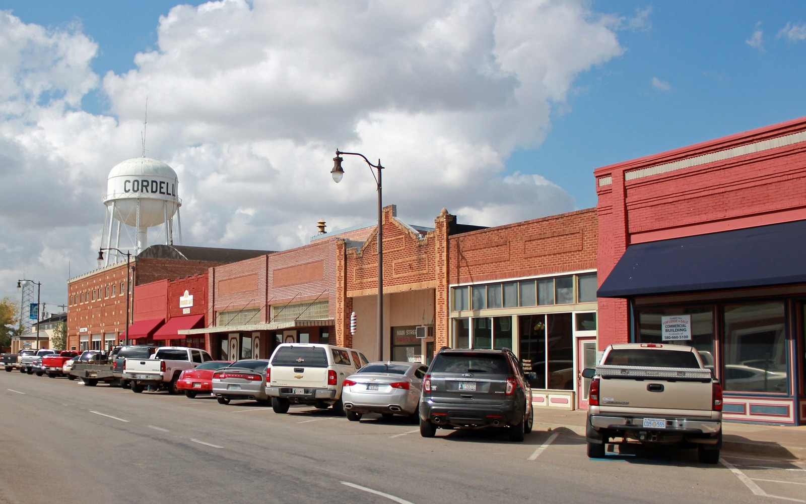
Sell Mineral Rights in New Cordell, OK
New Cordell is the Washita County seat, sitting near the transition zone where Anadarko Basin conventional gas development meets the southern edge of the Cana Woodford horizontal trend.
That transition zone position means Washita County mineral interests can look quite different from one section to the next, depending on whether a tract sits closer to the older, deeper Anadarko Basin gas tests or the more recently developed Woodford horizontal acreage. For a New Cordell-area family, the county clerk's office here is the natural starting point for confirming exactly which kind of production, if any, applies to their interest.
A transition zone between two development styles
Washita County sits at a natural boundary in western Oklahoma's oil and gas geography, where deep Anadarko Basin gas tests common further west and north give way to the shallower Cana Woodford horizontal trend more typical of counties to the south. New Cordell-area acreage can fall on either side of that line, or occasionally show characteristics of both, which is why we treat each interest individually rather than applying a single Washita County assumption.
Using county clerk records to sort out overlapping history
As the county seat, New Cordell houses the records that establish a clear chain of title for most Washita County mineral interests, which is particularly useful in a transition-zone county where a tract may have seen more than one era of leasing activity. We recommend pulling the full deed and lease history before valuing an interest here, since it often reveals older Anadarko Basin leases that a family may not have been actively thinking about.
What determines value on transition-zone acreage
Because Washita County does not fall cleanly into either the SCOOP-STACK core or the deep Anadarko Basin's most active corridor, value here tends to hinge more heavily on specific, recent permitting near a given tract than on general county-wide trends. We check both the shallower Woodford activity and the deeper conventional gas history before offering a range, since either could be the more relevant factor for a specific section.
Locate the tract in the Oklahoma record
The tract should be reviewed through the county and legal description that control the minerals, not only through a mailing address or city label. Identify the section, township, range, county, operator or payor, current owner, and any OCC cause or order number. Then match the tract to spacing, pooling, well, and title records that actually touch the property.
Read nearby activity without overextending it
A permit, completion, or pooling cause near the tract can provide context, but distance alone does not prove that the same formation, unit, operator plan, or economics apply. Compare legal descriptions, landing zones, unit geometry, first-production dates, and operator chronology. Nearby evidence belongs in the file with its limits clearly stated.
Check the local title path
County recording practices, older reservations, probate history, trust ownership, marital interests, and entity changes can shape the closing path for the tract. Trace deeds and estate records forward to the current owner, then compare that chain with the respondent list, division order, and paid decimal. Curative work should be identified before accepted terms depend on a closing date.
Build the decision from tract-specific facts
A sale range for the tract should separate producing income, leased but undrilled acreage, open minerals, and prospective development. State the records and assumptions supporting each component. The owner can then compare keeping the interest, selling a portion, or conveying the full interest with the order, tract, decimal, title requirements, and written transaction terms visible in one place.
Questions Oklahoma owners ask
Is Washita County part of the SCOOP or STACK play?
It sits near the edge of the Cana Woodford horizontal trend, which is related to but distinct from the SCOOP and STACK cores farther east. Some sections see Woodford-style activity, while others are closer to older Anadarko Basin conventional gas development.
Where should you start if you are not sure what kind of production applies to your interest?
The Washita County clerk's office in New Cordell holds the deed and lease records needed to establish your interest's history. That is the right starting point before discussing value.
Why does value vary so much within Washita County?
Because the county sits at a transition point between two different development trends, value depends more on specific nearby permitting than on a general county-wide pattern. We check both trends for your particular section before forming a view.
Keep reading before you sign
Sell Mineral Rights in Newcastle, OK
How McClain County's SCOOP core and Newcastle's rapid suburban growth are changing mineral ownership, split-estate issues, and sale timing for local families.
Sell Mineral Rights in Ninnekah, OK
A grounded look at mineral ownership near Ninnekah in Grady County, where SCOOP horizontal units overlie decades of older Cement-field production.
Sell Mineral Rights in Norge, OK
Mineral ownership around Norge, a small Grady County community on active SCOOP acreage, and what families should check before selling an interest.