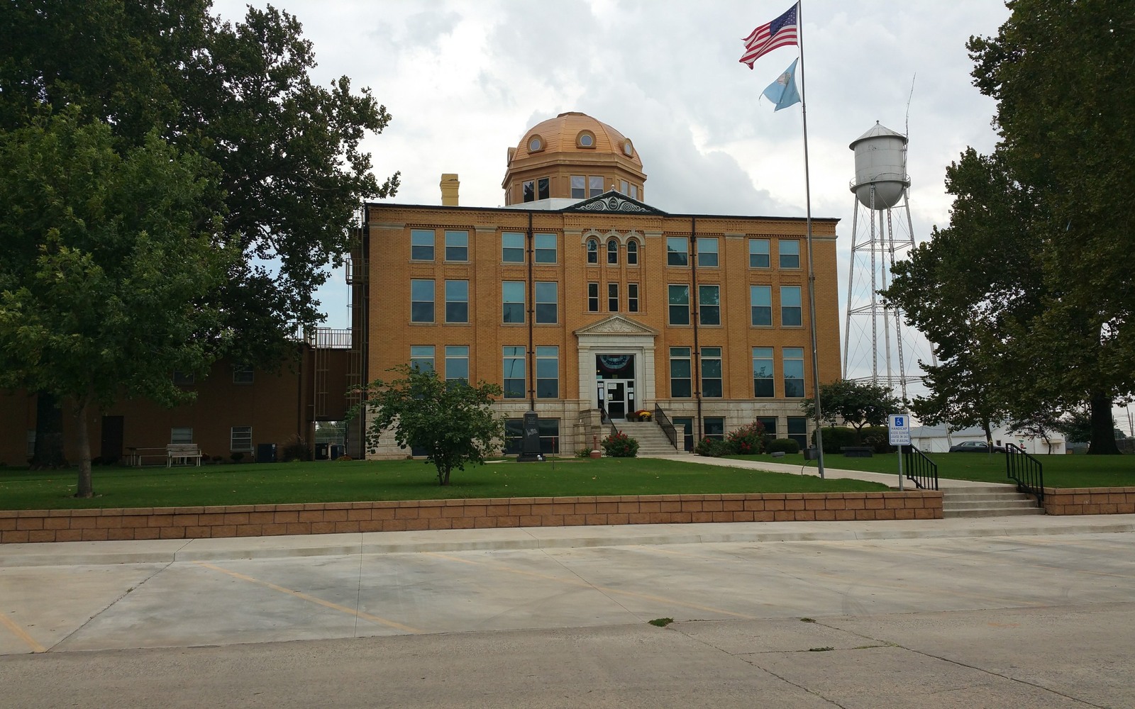
Sell Mineral Rights in Watonga, OK
Watonga is the Blaine County seat, and its position near the eastern edge of STACK activity means mineral owners here have seen a mix of strong development and quieter, more conventional ground.
Blaine County has captured real STACK drilling, particularly toward its western reaches closer to Dewey and Custer counties, while areas nearer Watonga itself sometimes reflect a blend of newer horizontal units and older conventional production. Confirming which applies to your specific tract is the first step toward an honest valuation.
A county with more than one story
Because Blaine County spans meaningfully different levels of STACK development activity, two mineral owners a few miles apart can hold genuinely different assets: one an actively producing horizontal unit still early in its decline curve, the other a mature conventional well that's been paying small, steady checks for years.
What we check before pricing your interest
Your most recent statement, or public spacing and completion data if you don't have one, tells us which situation applies. From there, we build a valuation around your specific well's age, formation, and production trend, rather than treating every Blaine County acre the same way.
Fitting the answer into a broader plan
Whether your interest turns out to be a still-developing STACK asset or a mature legacy well, the same underlying question applies: does the realistic, discounted value of continuing to hold it outweigh what an after-tax lump sum could do for your family right now.
It's also worth noting that Blaine County acreage near the western county line has generally seen more recent horizontal activity than acreage closer to Watonga itself, which is one more reason location within the county matters as much as the county name.
Locate the tract in the Oklahoma record
The tract should be reviewed through the county and legal description that control the minerals, not only through a mailing address or city label. Identify the section, township, range, county, operator or payor, current owner, and any OCC cause or order number. Then match the tract to spacing, pooling, well, and title records that actually touch the property.
Read nearby activity without overextending it
A permit, completion, or pooling cause near the tract can provide context, but distance alone does not prove that the same formation, unit, operator plan, or economics apply. Compare legal descriptions, landing zones, unit geometry, first-production dates, and operator chronology. Nearby evidence belongs in the file with its limits clearly stated.
Check the local title path
County recording practices, older reservations, probate history, trust ownership, marital interests, and entity changes can shape the closing path for the tract. Trace deeds and estate records forward to the current owner, then compare that chain with the respondent list, division order, and paid decimal. Curative work should be identified before accepted terms depend on a closing date.
Build the decision from tract-specific facts
A sale range for the tract should separate producing income, leased but undrilled acreage, open minerals, and prospective development. State the records and assumptions supporting each component. The owner can then compare keeping the interest, selling a portion, or conveying the full interest with the order, tract, decimal, title requirements, and written transaction terms visible in one place.
Questions Oklahoma owners ask
How do you know if your Watonga-area interest is STACK production or older conventional?
We can typically determine this from your royalty statement, or from county spacing records tied to your legal description if you don't have current paperwork.
Does county location alone determine value here?
No. Two interests in the same county can be worth very different amounts depending on the specific well, its age, formation, and current production. We evaluate at that level, not by county average.
What if you own interests in both an older well and a newer one?
We evaluate each separately and present a combined picture, since they behave differently and should be priced accordingly.
How do you handle a Blaine County interest with production from more than one well?
We evaluate each well separately based on its own production history and decline stage, then combine them into a single offer covering your full ownership.
Keep reading before you sign
Sell Mineral Rights in Wayne, OK
Wayne sits in McClain County's SCOOP and Merge acreage. We evaluate royalty interests for families weighing holding against a sale.
Sell Mineral Rights in Waynoka, OK
Waynoka sits in Woods County's Mississippi Lime country. We evaluate mature horizontal-era royalty interests for families weighing a sale.
Sell Mineral Rights in Weatherford, OK
Weatherford sits in Custer County, one of the most heavily drilled STACK counties. We evaluate horizontal royalty interests for families weighing a sale.